On Tuesday, January 28, CBS News reporter Wilson Walker interviewed Save the California Delta Alliance’s attorney, Michael Brodsky, about the state’s water supply and President Trump’s recent comments.
January 28, 2025, By Wilson Walker
California’s water system has remained a complex topic and was recently put into the spotlight by President Donald Trump’s comments.
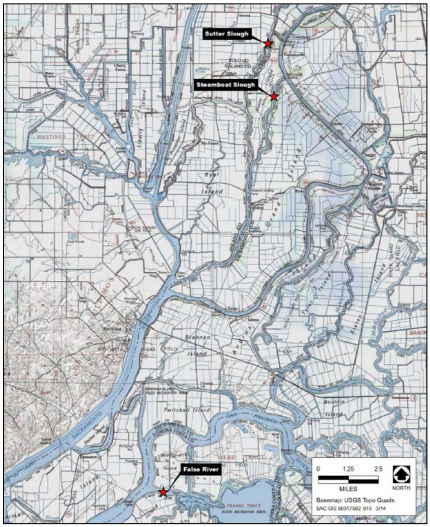
“This is the intake for the Central Valley Project, the federal system that takes water from the Delta and distributes it to farmers in the Central Valley,” explained Michael Brodsky, drifting past the gates that keep plants and debris out of the intake system.
It’s one of the valves at the center of the California water discussion.
“This is a project that the federal government controls,” Brodsky explained. “It’s operated by the United States Bureau of Reclamation and the president certainly has a sway over how this is operated.”
Just a few minutes away, there is another. But it’s less a valve and more of a giant straw.
“The other is the state of California, which has its own separate canal system called the State Water Project,” Brodsky said. “That supplies water to the Central Valley and all the way to Southern California, and this is the point where it’s removed from the Delta.”
And just a bit farther up the Old River there is yet another straw, this one for more than a half million people in the Bay Area.
“This is the one of the intakes for the Contra Costa Water District,” Brodsky said of the pumps just off the river. “So the water that’s taken from the Delta here supplies drinking water for a good portion of Contra Costa County.”
Brodsky is legal counsel for the Save the California Delta Alliance. He said the freshwater pool that’s so critical to so much of California simply has too many straws.
“The technical term is right now the Delta and the Sacramento River system are oversubscribed,” he said. “More people have rights to take more water than the system can possibly support.”
“Open up the pumps and the valves in the north,” Trump said recently. “We want to get that water flowing down here as quickly as possible.”
As for the President’s executive order, the fish in the title would presumably be the federally protected smelt. But saving those tiny fish isn’t just about preserving them, it’s also about preserving a freshwater delta against the push of a rising sea.
“And the more water is diverted from the Sacramento River from the Delta, the farther upstream and the saltier the Delta gets,” Brodsky said of the longstanding scientific consensus. “Eventually to the point where water can’t be used for agriculture and can’t be used for drinking water.”
And the smelt debate flows into another critique of California water policy.
“President Trump talked about millions and billions of gallons of water going out to sea and he blamed that on the Delta smelt,” Brodsky said. “The main reason why a whole lot of water goes out to see that might be put to other uses is because we have nowhere to put it. We don’t have any storage. We don’t have the reservoir capacity, and we don’t have the capacity to recharge ground water in the Central Valley where it could be stored.”
For his part, Brodsky said there are some possible ways out of this stalemate over Delta water, but he said the real answers lie much farther south.
“We cannot continue to send an unlimited supply of water to Los Angeles,” he said. “And it makes sense to look at other ways to supply Los Angeles with water.”
And while it’s unclear exactly how the President might change this conversation, Brodsky said the state’s notoriously complex water challenges have some simple truths.
“At one level, though, it’s pretty simple,” Brodsky said of the California water. “With the infrastructure we have right now, we can’t take any more water out of the Delta system without harming our Northern California farmers, our Northern California cities, and the environment.”
The Bay Area is already living with the implications of all this. In Antioch, for example, they’re building a desalination plant for the water they pull out of the river, anticipating changes as the Pacific pushes in. The Delta tunnel debate is part of this, just like the periphery canals proposed back in the 80s. This is a generational stalemate over California water. So how might Trump change the course of things? That, right now, is anybody’s guess.